McMicken Island State Park
McMicken Island State Park | ||
 Bild gesucht BW | ||
| Lage | Mason County in Washington (USA) | |
| Fläche | 4,7 ha | |
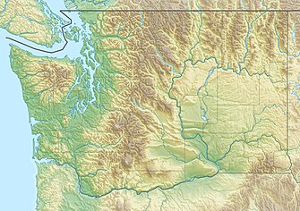
| Geographische Lage | 47° 15′ N, 122° 52′ W47.248151-122.862362Koordinaten: 47° 14′ 53″ N, 122° 51′ 45″ W | |
| ||
| Verwaltung | Washington State Parks and Recreation Commission | |

f6
McMicken Island State Park ist ein 4,7 Hektar großer State Park im Mason County im US-Bundesstaat Washington. Die Insel liegt im südlichen Puget Sound östlich von Harstine Island, hat über 500 Meter Küstenlinie und ist in erster Linie nur per Boot zu erreichen. Nur bei Ebbe ist die Insel auch zu Fuß von Harstine Island zu erreichen.
Die bewaldete Insel liegt in einer unberührten Bucht mit guten Ankermöglichkeiten, Besucher können auf der Insel wandern, Weißkopfseeadler beobachten und Krebse und Schalentiere fangen. Der Bestand an Krebsen und Schalentieren ist ergiebig, daneben können Seehunde, Prachttaucher und Rothalstaucher beobachtet werden.
Geschichte
Im 19. Jahrhundert siedelte ein schwedischer Seemann auf der Insel, die er nach sich selbst Lundquist benannte. Die US-Behörden lehnten jedoch seinen Besitzanspruch auf die Insel ab. Der Vermesser, der die Insel anschließend für die offiziellen Karten vermessen sollte, gab der Insel dann seinen eigenen Namen: McMicken. 1974 kaufte der Staat Washington die Insel, seitdem dient sie als State Park und wird vom Jarrell Cove State Park mitverwaltet.
Literatur
- Marge Mueller, Ted Mueller: Washington State Parks : a complete Recreation Guide. Mountaineers Books 2004, ISBN 0-89886-642-1
Weblinks
- Internetpräsenz des State Parks
- McMicken Island. In: Geographic Names Information System. United States Geological Survey, United States Department of the Interior; abgerufen im 1. Januar 1 (englisch).


